Why this topic matters
This topic matters because it helps farmers, advisors and field teams understand a signal before turning it into an operational decision. The goal is simple: read the context, compare it with field reality and decide what deserves attention.
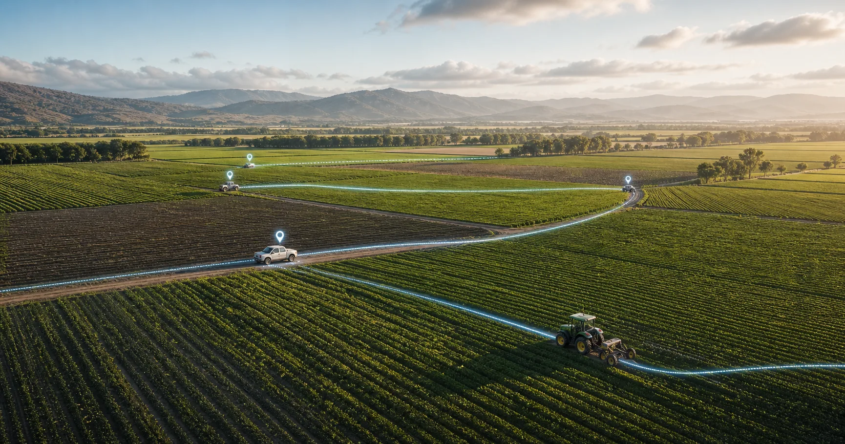
How GPS tracking helps coordinate field teams, routes and evidence while keeping the purpose operational and transparent. In practical terms, GPS tracking should be read as context for better decisions, not as a diagnosis by itself. It documents where work happened and helps reduce calls, confusion and missing context.
What the user should look at
| Signal | What it helps interpret |
|---|---|
| route and distance | It documents where work happened and helps reduce calls, confusion and missing context. |
| time in the parcel | It documents where work happened and helps reduce calls, confusion and missing context. |
| task start and close | It documents where work happened and helps reduce calls, confusion and missing context. |
| evidence location | It documents where work happened and helps reduce calls, confusion and missing context. |
| offline gaps after sync | It documents where work happened and helps reduce calls, confusion and missing context. |
How to interpret it without overclaiming
The safest interpretation is comparative: look at the same field over time, compare similar zones, and validate the hypothesis in the field before turning a map into an instruction.
| Field question | Why it matters |
|---|---|
| Did the team reach the right field? | It documents where work happened and helps reduce calls, confusion and missing context. |
| Were there omitted areas? | It documents where work happened and helps reduce calls, confusion and missing context. |
| Was evidence captured in the parcel? | It documents where work happened and helps reduce calls, confusion and missing context. |
A practical workflow
- Identify the parcel and crop stage.
- Review the most recent map or operational record.
- Compare with previous dates and recent work.
- Check weather, irrigation, inventory or field observations.
- Create an inspection or task only when the signal is relevant.
- Close the loop with photos, notes and a decision.
Always location permission for background tracking
On iPhone, “While Using the App” is not the same as background tracking. With that permission, GPS can record points while the screen is open, but iOS may stop capture when the phone is locked, the user switches apps or Agronavica becomes inactive.
For a work order that needs a complete route, the device needs “Always” location permission, ideally with precise location enabled. The app can request it and explain why, but iOS and the user decide the final permission. If the phone remains in “While Using” mode, the user should open iPhone Settings, select Agronavica and change Location to “Always” before relying on background route tracking.
On Android, the equivalent is allowing background location and keeping the tracking service active while the work order is in progress.
Common mistakes
- Do not treat one color or one value as a diagnosis.
- Do not compare different crops without context.
- Do not ignore sensor limits, timing or data quality.
- Do not turn a signal into an automatic treatment.
- Always keep agronomic judgment and local validation in the loop.
In summary
Field GPS tracking: operational visibility without surveillance is most useful when it helps the team ask better questions, prioritize field checks and document what was found. The public value is interpretation: understand the signal, compare it with context, and confirm the decision in the field.